Explore the initiatives aiming to safeguard Newquay’s extraordinary environment. From tree surveys to landslide logging, join us in protecting our town’s unique ecosystem. Together we can help preserve our beautiful coastal town for future generations.
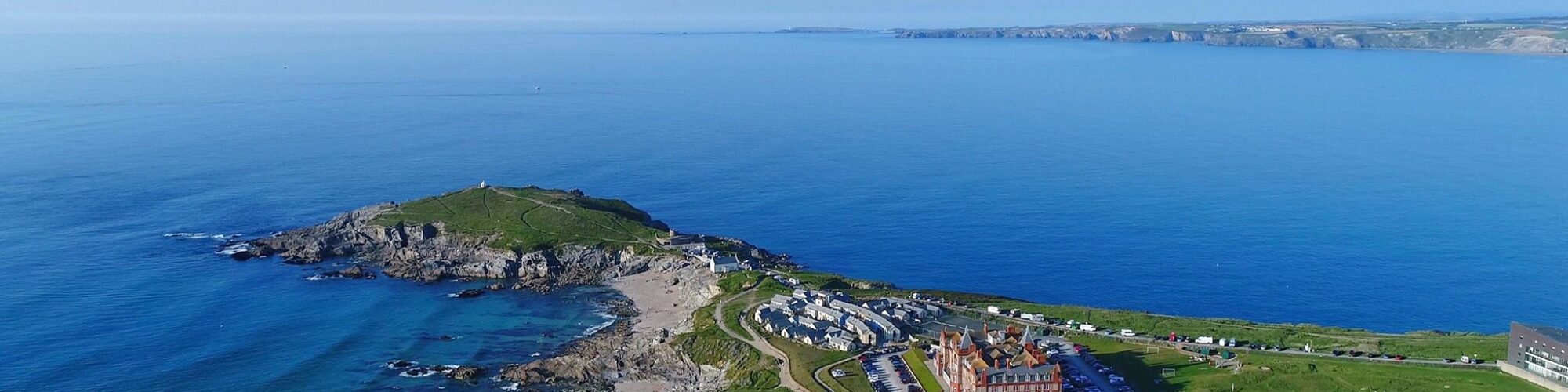
Coast
Join us in safeguarding the fragile ecosystems that define our shoreline. Newquay’s cliffs and sand dunes not only provide crucial habitats for a diverse array of wildlife, but they also protect our town from coastal erosion and rising sea levels. Below are three projects that you can get involved with to help protect our coast.
Cliffs
British Geological Survey (BGS) – Report a landslide
You will find below existing map of historic landslides on the British Geological Survey’s website which can help with visualising the locations. Anyone can report a landslide to BGS using the online reporting tool.
Please see: GeoIndex – British Geological Survey (bgs.ac.uk)
Here’s an extract to show what it looks like:
Background for the online map: BGS National Landslide Database – British Geological Survey
To report a Landslide please click the link – Report a landslide | Form | Landslides at BGS | Shallow geohazards & risks | Engineering geology | Our research | British Geological Survey (BGS)
Making Space for Sand
The Making Space for Sand project is one of 25 projects funded by Defra as part of the £200 million Flood and Coastal Resilience Innovation Programme (FCRIP). The programmes will drive innovation in flood and coastal resilience and adaptation to a changing climate.
The aim of the Making Space for Sand Project is to provide a better understanding of the problems associated with sea level rise, coastal change and coastal erosion, encouraging a more sustainable use and development of the coastal fringe and allowing for a more natural, ecosystem approach to coastal management.
The Flood and Coastal Resilience Innovation Programme (FCRIP) is part of the government’s National Flood and Coastal Erosion Risk Management Strategy for England. The strategy’s vision is for England to be a nation ready for, and resilient to, flooding and coastal change – today, tomorrow and to the year 2100.
The FCRIP programme aims to:
Beaches and sand dunes are important, highly mobile, coastal features, responding to short-term weather events and longer-term climate forces. Though beaches and sand dunes absorb some of the impacts of these events, human use and development of these environments has left some of them unnaturally constrained and in poor condition.
Without changes to the management of beaches and dunes they risk being squeezed out, which could result in a more enhanced rate of erosion, compounding the problem faced by landowners and communities located behind them.
Costal Wildlife Reporting
Your sightings contribute to marine research and are essential to monitor jellyfish populations around the UK. Jellyfish are important indicators of change in our seas and we use this data to monitor the health of the ocean.
We’re interested in hearing about the marine turtles you spot around the UK. Your turtle sightings are used to gain valuable insights into the health of our ocean. If you find a hard-shelled turtle, DO NOT return it to the water, it’s likely in cold water shock. Follow the Turtle Code.
About Cornwall Birds (CBWPS)
Whatever your level of interest in birds, the Society offers you opportunities to develop that interest and to get the most out of birdwatching in Cornwall.
Cornwall Wildlife Trust’s Marine Strandings Network is the licensed recorder for all marine strandings in Cornwall.
The Marine Strandings Network is a flagship project of Cornwall Wildlife Trust and has been recording and monitoring dead marine wildlife strandings in Cornwall and the Isles of Scilly for 20 years.
We train and support a team of over 150 volunteers who man the dedicated Strandings Hotline and record all reported strandings of marine organisms on Cornwall’s coastline. The army of MSN Volunteers record and photograph all stranded dolphins, whales and porpoises (collectively known as cetaceans) as well as seals, basking sharks and turtles, and facilitate post mortem examinations of suitable animals to determine causes of death. This gives us an understanding of the threats marine wildlife are facing, so we can campaign for changes to manage and mitigate these threats.
Trees
Welcome to Newquay’s tree conservation hub. We’re dedicated to preserving and expanding our urban forest – and you can help! Check out the projects below and find out how we plan to cultivate a greener Newquay for all to enjoy.
Newquay Tree Survey
In order to increase Newquay’s tree coverage, we need to have a record of what trees are already in Newquay. That’s where you come in!
Please go to Treezilla and download the app so that you can plot and take photos of Newquay’s trees. This can be a fun activity for a solo stroll or shared with friends and family.
All you need is a smartphone and a dressmaker’s measuring tape. Once the tree has been placed on the database, the app will tell us the tree’s worth in terms of carbon capture and water inception.
A quick way of estimating the height of a tree is to get someone to stand next to the tree. Stand back from the tree and see how many times this person fits into the height of the tree and multiply their height accordingly.
This will tell us where Newquay’s trees are and help identify where they can be planted in the future.
Treezilla is a citizen science project that is aiming to encourage members of the public, local authorities, business, local groups and other organisations to collaborate in mapping, measuring and monitoring trees across the United Kingdom and Republic of Ireland.
Newquay Tree Strategy
Trees in towns and cities have a wonderful cooling effect in the really hot months, they increase property values and increase footfall in shopping centres.
Cornwall has some of the lowest tree coverage in the UK and Newquay has the lowest tree coverage in Cornwall. We want to create a Newquay Tree Strategy to remedy this.
To enable the tree strategy to be written, we need your help to record what trees are already in Newquay. Head to the Tree Survey section above to find out how.
Urban Tree Challenge
Read more about the Urban Tree Challenge here: Town could be getting a bit greener | voicenewspapers.co.uk
In 2023, Cllr Thomson and Cornwall Council’s Forest for Cornwall programme managed to secure a grant of £130,000 from the Government’s Urban Tree Challenge to plant more trees in Newquay – starting with the Chester Road area.
So far, 50 trees have been planted on Glamis Road, Chester Road, and Hillgrove Road. The rest of the trees will be planted later in 2024.
Click the link below for a before and after of how the proposed trees will look on Glamis Road, Newquay
Glamis Road, Newquay: These images give an idea of how the proposed trees will look on your street | Trees for Cornish Towns Consultation | Let’s Talk Cornwall
Priory Woods - 10 Year Plan
Newquay Town Council owns Priory Wood in St Columb Minor.
In 2023, the Town Council received a £1,500 grant to enable us to create a 10-year-plan for the wood. This plan gives us access to further grant monies to make it a truly beautiful community woodland with enhanced wildlife benefits, working with local schools and charities.
See the plan here: Priory Wood Woodland Management Plan
Important documents:
Felling License
Historic Environment Record
Historic map of Priory Woods
